

Area Structure Plans
Guiding Calgary's growth Area Structure Plans
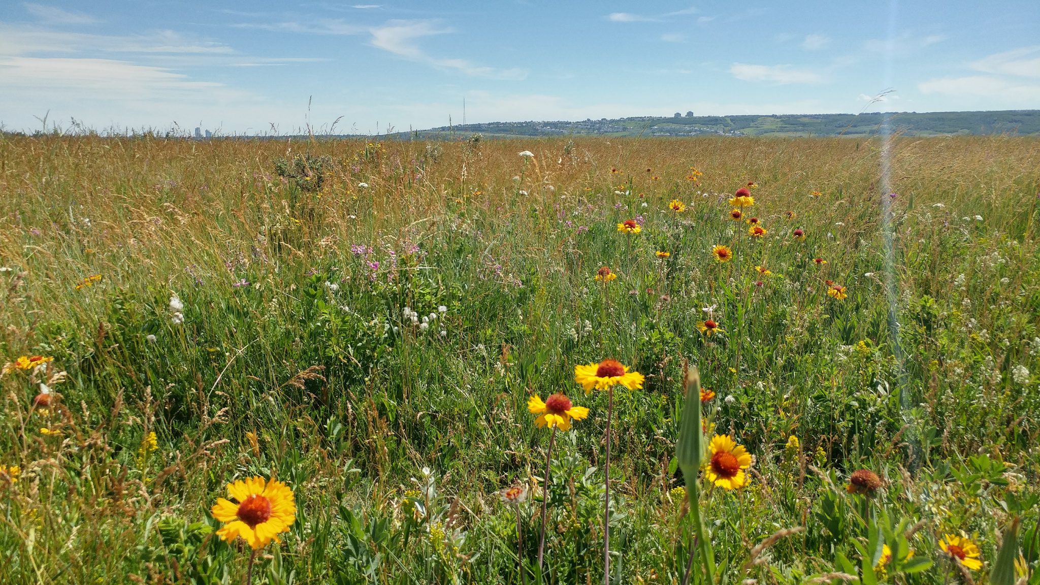
An Area Structure Plan (ASP) is a long-term planning document that guides growth and development of undeveloped lands into a complete community. An ASP is the first step in setting general land use concepts and establishing overarching planning policies that guide the development of unserviced lands within Calgary’s city limits. This development from “dirt to door” happens over a long time, typically from 20 to 30 years.
ASPs guide Calgary's growth
Calgary’s population is growing and will continue to grow well into the future. We need to continue to make our city an attractive place for people to want to live and make a great life. To accommodate the growing population and housing needs, an ASP identifies and highlights how development can occur in new land areas in ways that complement city-wide goals and objectives for growth and development.
With ASPs in place, growth in undeveloped lands and their surrounding environment can happen in a manner that meets our growing housing, commercial and industrial needs. ASPs put in place land use concept that sets the vision for how newly developed communities will integrate well into established communities. That way, there is certainty for how new communities will be better supported as development occurs and a vision for how they’ll stay vibrant for decades to come.
ASPs matter
Having an ASP in place is important to ensure growth and development in greenfield meets Council’s agenda for growth and caters for diverse social and economic needs.
As Calgary grows, ASPs play a role in making sure the city continues to be a great place to live, work and play. They support the growth and development of greenfield lands into vibrant communities that has a mix of housing and employment-intensive uses.
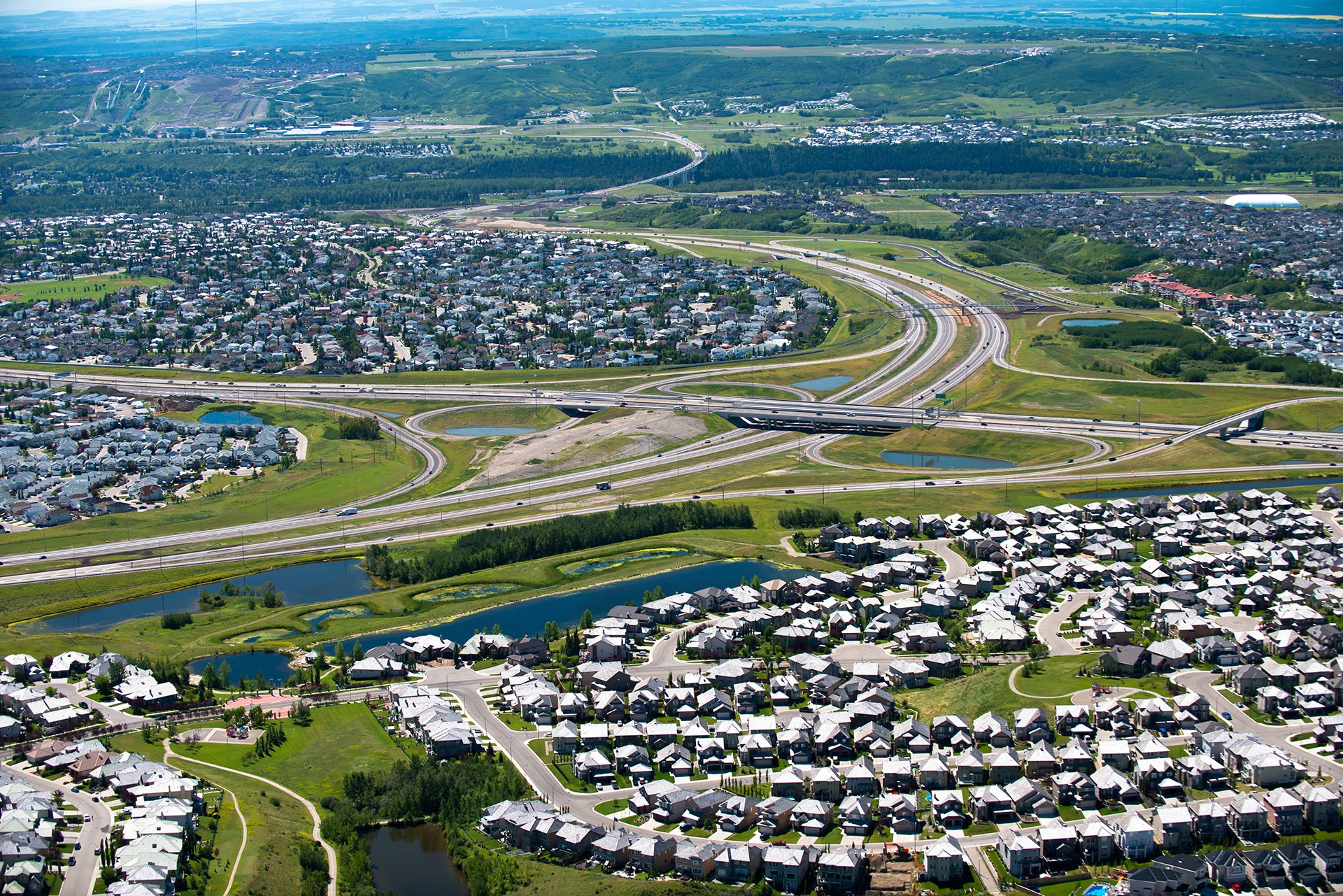
When we build new communities, some of the most important considerations are making sure we include all the elements of a complete community:
- A mix of housing types, forms and tenures.
- Opportunities for recreational and public amenities.
- Parks, natural areas and pathways.
- Opportunities for commercial, business and industrial uses.
- Access to safe and sustainable servicing.
- Proximity to major transit routes and future transit networks.
- High quality pathways and street connections designed to allow for multi-modal transportation (bikes, strollers, walking).
Land Acknowledgement
Calgary is situated within the ancestral lands and traditional territories of the people of the Nations that made Treaty 7. These Nations in Southern Alberta are: the Siksika, Piikani, Amskaapipiikani and Kainai First Nations, who, altogether, form the Siksikaitsitapi (Blackfoot Confederacy); the Îethka Nakoda Wîcastabi (Stoney Nakoda) First Nations, comprised of the Chiniki, Bearspaw, and Goodstoney First Nations; and the Tsuut’ina First Nation. The city of Calgary is also homeland to the historic Northwest Métis and to the Otipemisiwak Métis Government, Métis Nation Battle River Territory, Nose Hill Métis District 5 and Elbow Métis District 6. We acknowledge all Indigenous people who have made Calgary their home.

Artwork by Kristy North Peigan