Calgary Traffic Counts System
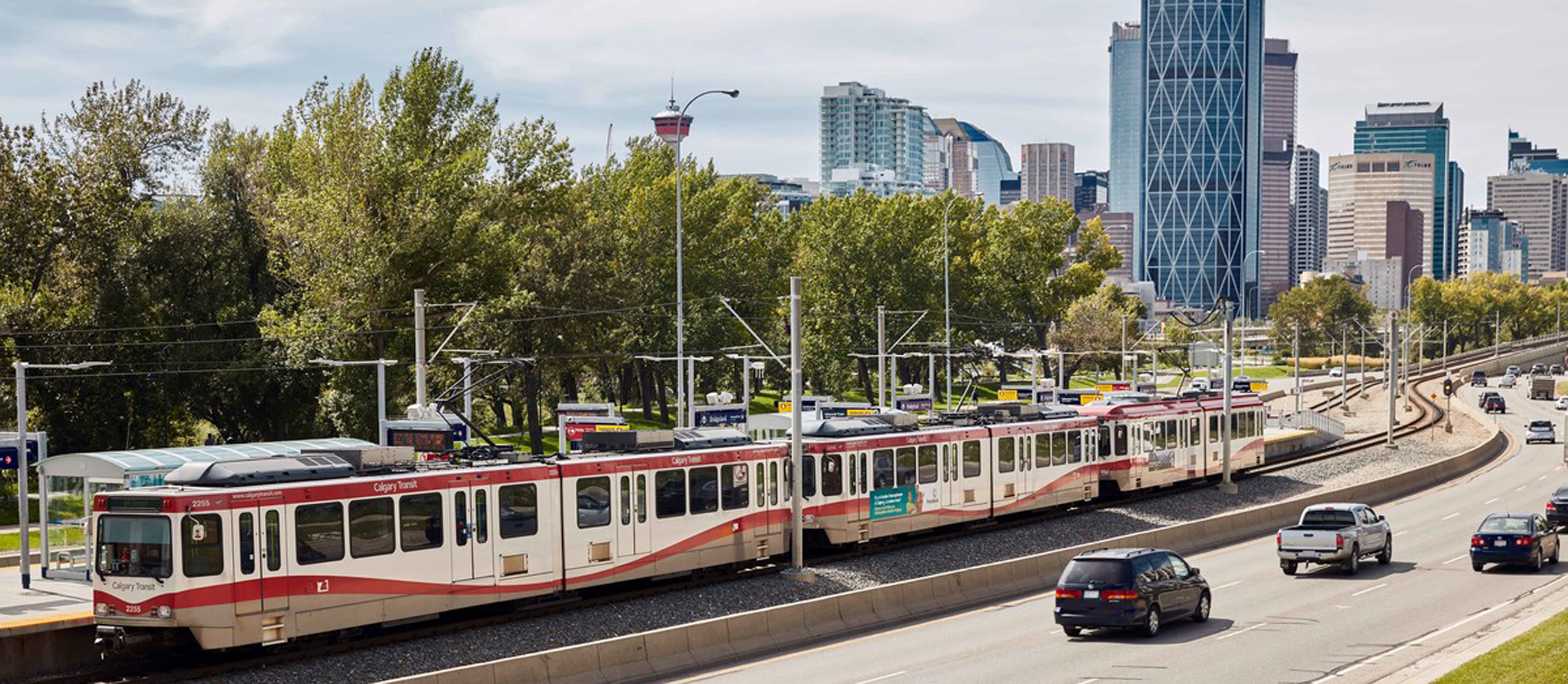
The Calgary Traffic Count System or CalTRACS is an online application that you can use to access The City's transportation data collected over the past 40 years. The City collects data throughout the year in different locations in Calgary. New data is added to CalTRACS regularly as transportation studies are completed.
You can view the transportation data as Quick View summary reports or PDF and Excel reports for free. The data may be used for any purpose subject to the Open Government License – City of Calgary Terms of Use. By providing public access to transportation data, we are promoting transparency in government and providing better services to citizens.
About the data
With this system, you can now search data that displays counts of pedestrians, bicyclists, and vehicles at intersections and on streets within Calgary. You can also view data on the number of pedestrians using crosswalks, the types of vehicles and the speeds of vehicles travelling on selected streets. If you want information on how to read The City's transportation information, check how to read Traffic Count reports.
Viewing this information is an opportunity for citizens to identify travel trends in their community. This web tool will also be useful for professionals who help assess The City's need for new infrastructure and develop future plans to accommodate Calgary's growth.
To help you get started using CalTRACS
If you need help or additional explanation on how to use CalTRACS, please view the online help guide. You can find this guide in CalTRACS under the '?' symbol located at the top right hand corner of the map. Here you will find information on how the data is collected, types of transportation data studies conducted and how to use common functions in CalTRACS.
More about CalTRACS
Access CalTRACS for free. The City's transportation data may be used for any purpose subject to the Open Government License – City of Calgary Terms of Use.
Questions?
If you have questions about the data in CalTRACS, how different City business units use this data or require online support, please contact 311 or submit your feedback in an online service request.
Frequently asked questions
Where can I access CalTRACS online?
You can access CalTRACS by visiting https://trafficcounts.calgary.ca
What is a traffic count?
A traffic count shows a count of the vehicles, cyclists and pedestrians that pass through a selected street or street intersection usually over a six-hour or a 24-hour period. There are different methods used to collect the traffic count.
What is a speed study?
A speed study is a study that measures individual speeds of vehicles passing a selected street or street intersection in a community over a period of time. This information is useful for monitoring speed trends in a community.
What does the data mean?
Traffic counts and speed studies are a snapshot in time used by professionals to understand the transportation network in the City. Individual traffic counts and speed studies can be influenced by many factors such as weather and time of year the count or study was completed.
This web tool only contains the transportation data and not the analysis for the data. Therefore, the person using traffic counts or speed study information should analyze and interpret the data by applying best practices in the transportation industry, then evaluate the results.
How does The City collect the data?
The City collects the data using manual count and automatic collection methods.
Manual counts are used when data collectors go out to the roadways between April to October and observe and record data. These counts are typically limited to six-hour blocks (consisting of two hour shifts in the morning, midday, and afternoon).
Automatic data collection can be completed in three different ways. The most common way is by placing hoses across the road which detect vehicle movements as vehicles drive over the tubes. Sometimes, video data is collected along roadways by video cameras that are set up on the streets. Also, permanent count stations are embedded in the roadway to collect data. Automatic data is typically collected for 24 hours, but may also be collected for six hours, 12 hours, or for multiple days.
Why does The City collect transportation data?
The City collects transportation data for municipal purposes such as for annual transportation monitoring programs like the Central Business District Cordon Count. This data helps The City to understand changes in vehicles, pedestrians, and bicycles travelling on the roadways in Calgary. The data is also used to help The City make decisions on how to enhance Calgary’s transportation system and to monitor the goals set out in the Calgary Transportation Plan (CTP).