Bridges and Elevated Guideways
Bridges
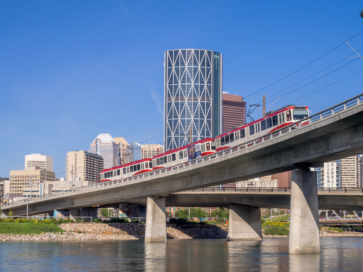
Six bridges will be built for the SE Segment of Green Line. Most are simple LRT bridges, however, some bridge locations provide opportunities to enhance the pathways and areas surrounding them.
Green Line bridges will cross:
- Elbow River between Ramsay and Victoria Park (near the Calgary Transit Victoria Park Garage)
- 78 Avenue S.E. (in Ogden)
- Ogden Road (south of Refinery Park)
- Blackfoot Trail S.E. (near Crossroads Market)
- Deerfoot Trail (near 46 Avenue S.E.)
- The Bow River (near the Calf Robe bridge)
Bridges on the Green Line
Elbow River bridge
Green Line will cross the Elbow River between Victoria Park and Ramsay, near the 9 Avenue S.E. Bridge. Design of the Elbow River bridge will be part of the revised downtown alignment.
Blackfoot Trail bridge
The Blackfoot Trail bridge will cross the roadway just behind Crossroads Market. The bridge will include the LRT line and a multi-use pathway.
Deerfoot Trail and Bow River bridges
As Green Line moves south through Highfield, it will cross over Deerfoot Trail and the Bow River beside the existing Canadian National Railway tracks. The bridge will take the LRT line across to Refinery Park. Both bridges include multi-use pathways.
Ogden Road bridge
Ogden Road bridge: As the Green Line moves south into Lynnwood/Millican it will cross over Ogden Road, just south of Refinery Park.
Designs for Deerfoot Trail and Bow River bridges


Elevated Guideways
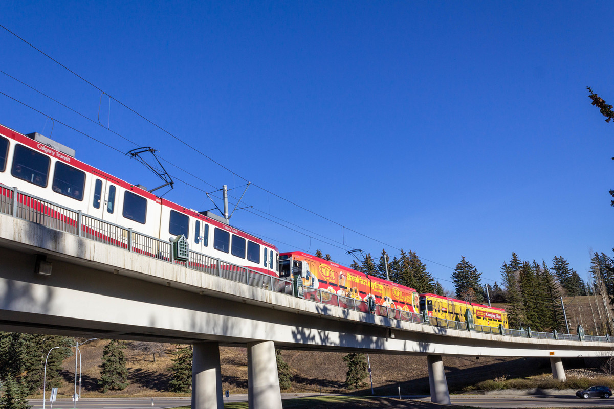
To accommodate the varying terrain features and existing city infrastructure, elevated guideways will be used to cross the streets. Elevated guideways eliminate the need for multiple level crossings where cars and pedestrians would need to stop frequently to allow trains to pass.
- 11/12 Street S.E. guideway in Ramsay: The Green Line will be elevated as it moves south from Ramsay/Inglewood to 26 Avenue station.
- 114 Avenue/Barlow Trail elevated crossing: Just south of Douglas Glen station, the Green Line will be elevated as it crosses 114 Avenue and Barlow Trail S.E.
Elevated Stations
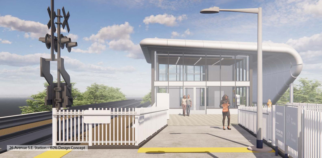
Two stations in the SE Segment of Green Line will be elevated to accommodate the surrounding terrain. These include:
Ramsay/Inglewood Station
The station will be built between the communities of Ramsay and Inglewood. Access to this elevated station will be from the west and east sides, which will improve connections between the two communities.
26 Avenue S.E. Station
The station will be located on the embankment west of Crossroads Market, just north of Blackfoot Trail.

