Saatoohtsi Area Structure Plan
Area Structure Plan Saatoohtsi
Building a vibrant future in Calgary's Southwest
The Saatoohtsi Area Structure Plan (ASP) was approved by City of Calgary Council on Sept. 9, 2025. This marks a major step in planning the future of 220 hectares (544 acres) in Calgary’s South West.
About the Saatoohtsi ASP
The Saatoohtsi ASP is a detailed planning document that sets the vision and guiding principles for transforming undeveloped lands into a new, vibrant, inclusive, and sustainable community. It follows with the Intermunicipal Development Plan, Municipal Development Plan, Calgary Transportation Plan, and other city-wide strategies to ensure thoughtful and responsible growth.
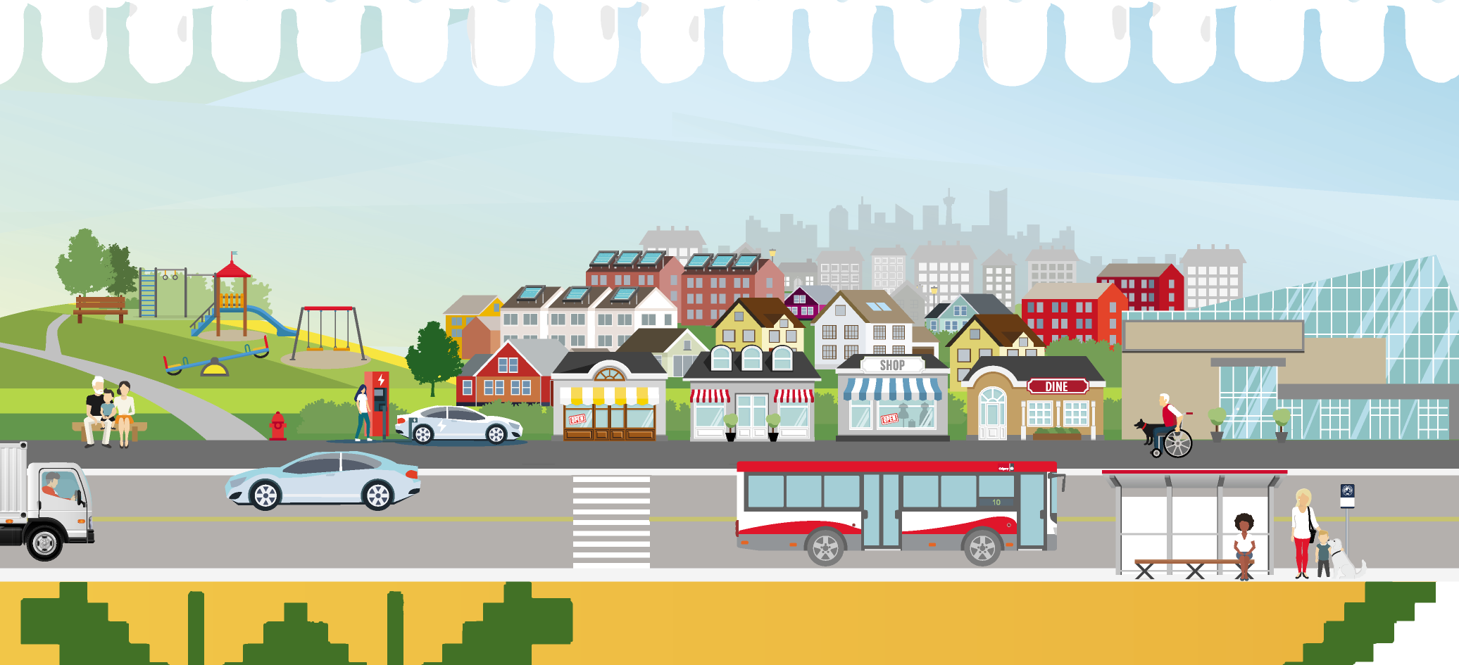
The Saatoohtsi ASP aims to create a thriving community where people can live, work and play. The community will offer diverse housing choices for residents, creating an accessible community for a variety of people and their families.
-
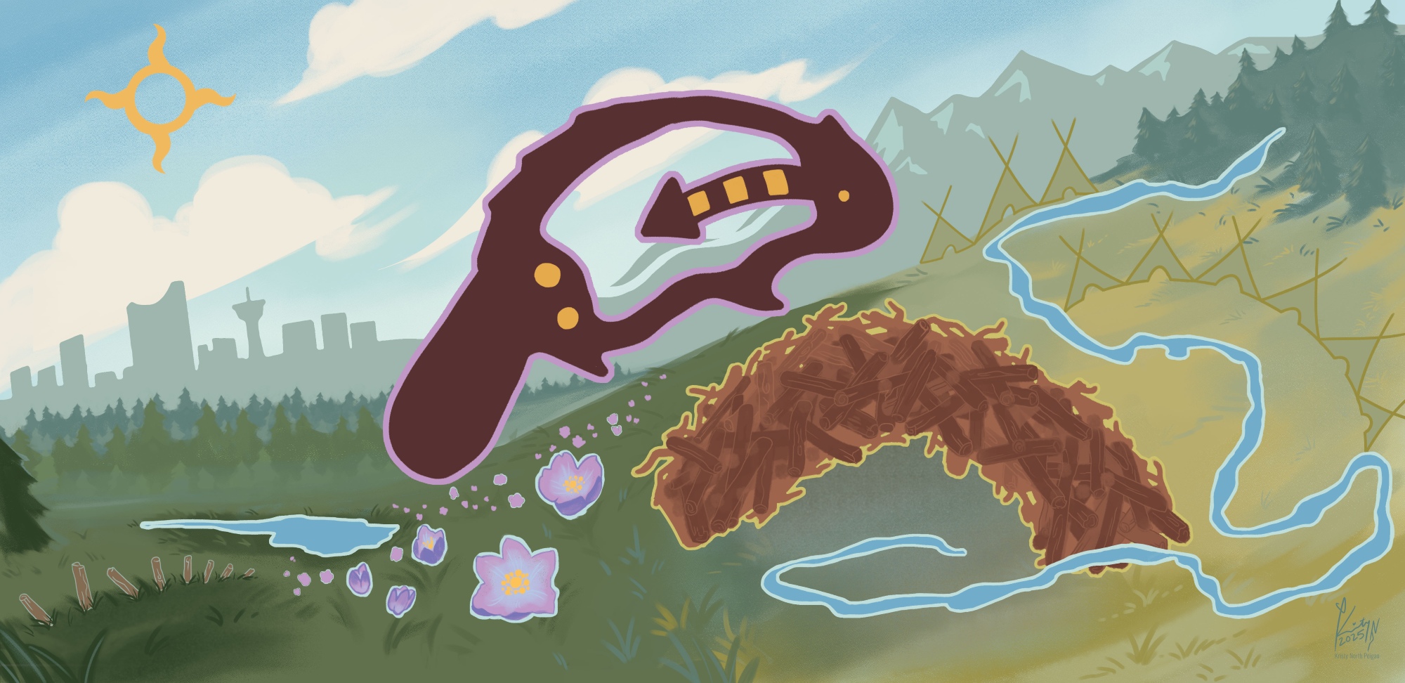
“Saatoohtsi” (Saah-toh-tss)
HEAR HOW TO SAY
Saatoohtsi Area Structure Plan Location
The plan area has an irregular shape and is bordered by:
- Pine Creek (North)
- 16 Street W / Macleod Trail S.E. (East)
- Highway 552 / Foothills County (South)
- Canadian Pacific Kansas City (CPKC) railway
Saatoohtsi ASP guides development for a thriving neighbourhood
The ASP envisions a thriving, inclusive community with diverse housing, access to jobs, schools, and shops, and strong support for active lifestyles. It prioritizes the protection of natural areas like Pine Creek, while expanding green spaces through new parks and trails that promote wellness and sustainable neighbourhoods.
The Saatoohtsi ASP is committed to respecting Indigenous culture and local history, integrating these values into the design and development of the community.
The core goals of the Area Structure Plan
The Saatoohtsi Area Structure Plan looks at how many people are expected to live in the community in the future and uses that information to plan things like housing units, density, jobs, roads, amenities, and services.
By the numbers
-

Hectares 220
-

People 12,000
-

Jobs 2,624
-

Units (all types) 5,000
-

Schools 3
-

UPH Density 30
(Units per Gross Residential Area in hectares)
-

Intensity 87
(People plus jobs per hectare)
Saatoohtsi ASP land use concept map
The land use concept map shows how land will be used for homes, parks, roads, and services. It provides a clear picture of the future community layout.
What's in the Saatoohtsi ASP
The Saatoohtsi ASP lays the foundation for a long term development (20-30 year vision), guiding the transformation of greenfield lands into a dynamic, livable, and resilient community. City staff, residents, landowners, builders, and Councillors can consult the ASP when making decisions about new development, infrastructure and services for the area.
The Saatoohtsi ASP includes ten sections, summarized below:
Public engagement
The public engagement process for the Saatoohtsi ASP is now finished. This page is your official resource for the completed Saatoohtsi ASP and is the most up-to-date source for the approved plan.
The Saatoohtsi ASP was created through a City-led, developer-funded process with input from:
- City of Calgary
- Landowners and developers
- Foothills County
- Calgarians
-
How public input informed the project
Public engagement happened over 18 months in four phases:
Engagement resource library
Explore the library for additional information on engagement and Council reports.
Phase 1
- Phase 1: Info session boards (PDF)
- Phase 1: Engagement Summary (PDF)
- Phase 1: What We Heard Report (PDF)
- Phase 1: What We Did Report (PDF)
Phase 2
- Phase 2: Info session boards (PDF)
- Phase 2: Engagement Summary (PDF)
- Phase 2: What We Heard Report (PDF)
- Phase 2: What We Did Report (PDF)