Urban Heat Map
Why is higher urban heat a concern?

- Extreme heat can lead to harsh living conditions, reduced productivity, illness, and death.
- It can reduce air quality and increase ground-level ozone, linked to adverse health effects like asthma.
- People who work outdoors, have health conditions, children and the elderly may be at higher risk of health effects.
- Heat waves can result in increased power usage for cooling, which can lead to outages.
- Extreme temperatures can cause deformation of building materials and early aging of infrastructure.
- Extreme heat can stunt plant growth and development, which can lead to less robust natural assets.
What does the Urban Heat Map show?
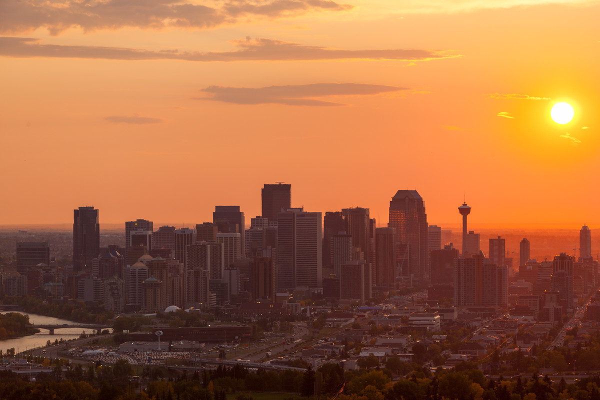
The City’s Urban Heat Map displays the hottest hubs and coolest corners in Calgary*.
It displays vegetation and infrastructure information, factors which tend to influence urban heat. City staff apply the information for insights into urban design, green infrastructure, and vulnerable areas. It helps prioritize investments and service delivery improvements. This in turn influences Calgary's climate resiliency.
“We know paved areas tend to increase extreme heat and vegetation tends to reduce it. What’s great about this tool is we now have data to show where it makes a difference!” says a climate adaptation specialist behind the project.
*Displayed as land surface temperature
-
View the Urban Heat Map
What data does the map include?
The Urban Heat Map displays:
- Satellite measured land surface temperature (LST) across Calgary at 11:30 a.m. on specific cloud-free days.
Other key layers include:
- Vegetation Index (Normalized Difference Vegetation Index, or NDVI)
- Built infrastructure Index (Normalized Difference Built-up Index, or NDBI)
- Building type and dimensions
- Population exposure
- Vulnerable age groups
The Urban Heat Map does not show the highest recorded temperatures or average temperatures over time. The temperatures displayed on this map represent a snapshot in time. They can identify parts of a community which are warmer or cooler relative to nearby areas. It shows land surface temperature, which is not a perfect portrayal of the experienced air temperature.
How can I prepare for extreme heat?
Check out the following resources to learn more about how to prepare and stay safe during a heat wave.
How is the map used?
By knowing the locations that are exposed to higher heat, we can develop management and risk reduction programs. Calgarians can use this tool to prepare for extreme heat by locating which areas tend to be hotter.
City staff use this tool, alongside other information, to:
-
Identify high-risk areas for targeted messaging and social support services.
-
Inform neighbourhood scale improvements and shading/cooling structures.
-
Guide community planning and service delivery decisions which may impact vulnerable populations.
Understanding urban heat islands
Climate change is causing more frequent and intense heat events. Urban areas are especially affected due to the Urban Heat Island (UHI) effect. The phenomenon occurs when a concentration of building and paved surfaces amplifies, and traps heat.
Paved surfaces can absorb more heat and stay warm longer than vegetation. Plants create a cooling effect through shading and moisture transfer so their absence in urban areas contributes to warming effects. Cars and buildings can create waste heat, contributing to higher urban heat.
Buildings and pavement in cities absorb and re-emit the sun's heat more than natural landscapes. This creates "islands" of higher temperatures compared to surrounding areas. This higher heat impacts the built environment, the natural environment and our health and wellness.
Frequently asked questions
Does the map show the highest yearly temperatures in Calgary?
No, the Urban Heat Map does not show the highest recorded temperatures nor average temperatures over time. The temperatures displayed on this map represent a snapshot in time. They can be used to show which parts of a community are warmer or cooler relative to nearby areas.
What is the source of the heat data?
Heat and vegetation data are from Landsat 8 imagery, a land-use satellite managed by NASA and the U.S. Geological Survey. The app displays processed data for one summer day for 2015, 2018, 2020, 2021, 2022, and 2023.
Does information in this app require interpretation?
Yes. Satellite-derived temperature data displayed represents land surface temperature. It does not represent experienced air temperature. Data captured where shading structures are located represents the top surface of the structures. It may show higher temperatures than underneath. This potentially misrepresents heat mitigation measures. Potential indoor refuge locations during heat waves are not shown in the app.
Will the data be updated?
Yes. A new dataset will be added to the app once per year. (If summer cloudless datasets are available).