

Explore the ASP Interactive Map
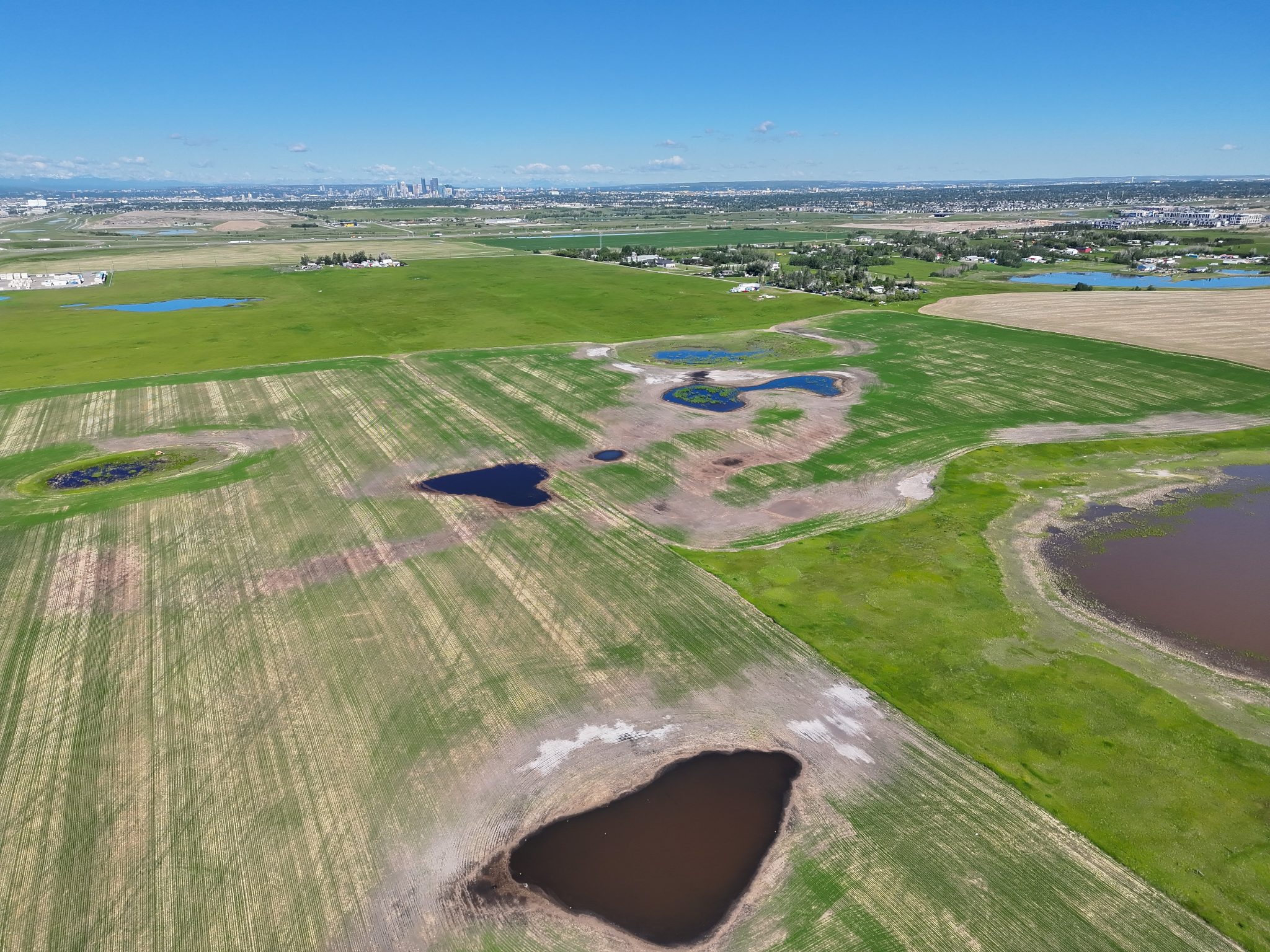
Area Structure Plans Explore the ASP interactive map
Use the interactive map for an overview of Area Structure Plans (ASPs) throughout the city of Calgary.
Access the web pages for ongoing and recently approved ASPs, view approved ASP policy documents, explore plan area boundaries and access related planning resources, all in one place.
Contact us
Call 311 for any questions or comments about ASPs.
You can also visit the Planning and Development resource library to access approved ASP policy documents.
Land Acknowledgement
Calgary is situated within the ancestral lands and traditional territories of the people of the Nations that made Treaty 7. These Nations in Southern Alberta are: the Siksika, Piikani, Amskaapipiikani and Kainai First Nations, who, altogether, form the Siksikaitsitapi (Blackfoot Confederacy); the Îethka Nakoda Wîcastabi (Stoney Nakoda) First Nations, comprised of the Chiniki, Bearspaw, and Goodstoney First Nations; and the Tsuut’ina First Nation. The city of Calgary is also homeland to the historic Northwest Métis and to the Otipemisiwak Métis Government, Métis Nation Battle River Territory, Nose Hill Métis District 5 and Elbow Métis District 6. We acknowledge all Indigenous people who have made Calgary their home.

Artwork by Kristy North Peigan