Neighbourhood Streets
Neighbourhood Streets
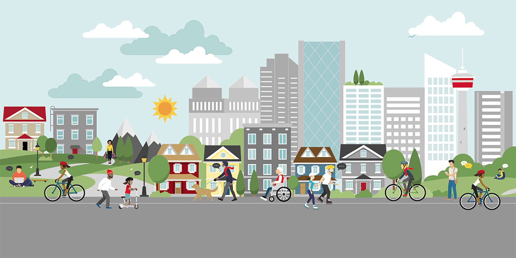
Calgarians value living on great neighbourhood streets.
Our streets help us feel connected, healthy and safe in our community. We’ve developed a policy and community resources to collaborate with Calgarians in creating streets where neighbours of all ages and abilities can connect and have access to safe, comfortable travel options.
What is a Neighbourhood Street?
A neighbourhood street is a street you might live on or the one near you with local shops and your closest bus stop.
There is a lot of activity that belongs on neighbourhood streets like moving, connecting with neighbours and gardening or mowing the lawn.
Neighbourhood streets work well when everyone can move safely and comfortably.
What makes a street livable?
Calgarians value streets that feel safe, welcoming, inclusive, offer comfortable travel choices, support great destinations, are healthy and fun.
Find out what makes a great neighbourhood street-
Is your street livable?
Help us identify the street changes needed for better walking and wheeling. Share your ideas with us.
-
Questions?
Do you have a question about Neighbourhood Streets?
-
Learn more about the pilot policy, outcomes, reporting traffic concerns and more.
-
To test the new Neighbourhood Streets Policy, we are working on a variety of projects to determine how the policy works in different applications. View current projects here.
-
The City and its partners have created many resources to enhance neighbourhood streets. Find out more.