Naato’siyinnipi Area Structure Plan
Area Structure Plan Naato’siyinnipi
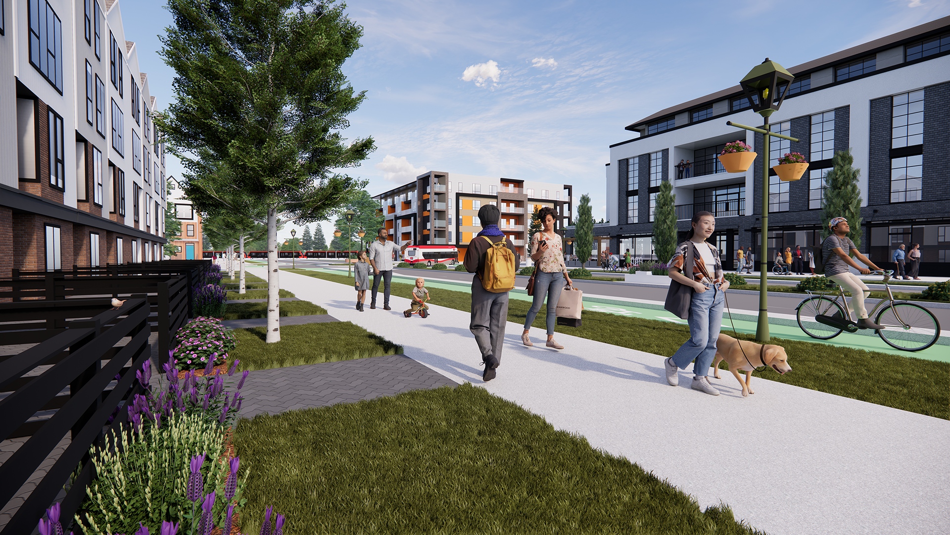
Shaping the future of north-central Calgary
The Naato'siyinnipi Area Structure Plan (ASP) is a new local plan for the lands once called Aurora Business Park. The ASP was approved on Sept. 9, 2025 by City Council, and it sets the vision for a transit-oriented, mixed-use community in north-central Calgary. The Naato’siyinnipi ASP focuses on creating housing, jobs, and transit options while protecting natural areas like the West Nose Creek.
About the Naato’siyinnipi ASP
The Naato'siyinnipi ASP is a detailed plan that sets the vision for turning 234 hectares of land into a complete community that supports diverse housing types, businesses, community amenities and access to rapid transit. About 40% of the area will be open space.
This ASP became possible after changes to the Airport Vicinity Protection Area (AVPA) rules in 2021, which now allow housing near the Calgary International Airport. The ASP reflects the City’s priorities for inclusive, transit-connected, and environmentally responsible communities.
Indigenous perspectives helped shape the ASP by including policies that respect the land’s cultural value and encourage caring for it responsibly.
-
"Naato’siyinnipi" (Nah-too-see-yin-NEE-bee)
HEAR HOW TO SAY
Naato'siyinnipi (Brings-down-the-Sun)
was a healer, revered elder, and ceremonial leader. One of Naato’siyinnipi’s walks led him to a bison hunt for an Akokatsin at West Nose Creek. He would go on to have many vision quests in the area. On June 26, 2025 the name Naato’siyinnipi was gifted to The City by members of the Piikani Nation in a ceremony that took place on the lands.
Naato’siyinnipi Area Structure Plan Location
The plan area has an irregular shape and is bordered by:
- 96 Avenue N.E. (North)
- Canadian Pacific Kansas City railway (East)
- Beddington Trail N.W. (South)
- Harvest Hills Boulevard N. (West)
The core ideas of the plan
Naato'siyinnipi ASP envisions a new community where people can get around by walking, biking, or using transit. It plans for different types of homes, lots of parks, paths and spaces for everyone to enjoy. The plan also supports further actions to celebrate Indigenous culture through names, placekeeping, design and public art.
By the numbers
The ASP looks at how many people are expected to live in the community in the future and uses that information to plan things like housing units, density, jobs, roads, amenities, and services.
-

Hectares 234
-

People 16,500
-

Dwelling units (all types) 7,300
-

Jobs 5,700
-

High School 1
Naato'siyinnipi ASP land use concept map
The land use concept map shows how land will be used for homes, businesses, parks, and services. It helps guide the layout of future neighborhoods and infrastructure.
What’s in the Naato’siyinnipi ASP
This Naato'siyinnipi ASP is a policy document approved by City Council. It helps guide future development of about 234 hectares (578 acres) in northeast Calgary. City staff, residents, landowners, builders, and Councillors can use it when making decisions about new development in the area.
The Naato’siyinnipi ASP includes ten sections, summarized below:
-
Read the plan
Naato’siyinnipi ASP
Public engagement overview
The public engagement process for the Naato'siyinnipi Area Structure Plan is now finished. This page is your official resource for the completed area structure plan and is the most up-to-date source for the approved plan.
The Naato’siyinnipi ASP was developed through a City-led, developer-funded model with input from landowners, developers, and the public. Over 18 months, the project team held engagement sessions to gather feedback.
-
See the community’s impact
Engagement resource library
Explore the library for additional information on engagement and Council reports.
Phase 1
Phase 2
Phase 3 and 4
- Phase 3: Info session boards (PDF)
- Project Final Engagement Report (PDF)
- Infrastructure and Planning Committee report (PDF)
- Council Public hearing report (PDF)
- Naato'siyinnipi ASP (PDF)
- Amendment of the Municipal Development Plan (PDF)