Completed Transportation Studies
Completed Transportation Studies
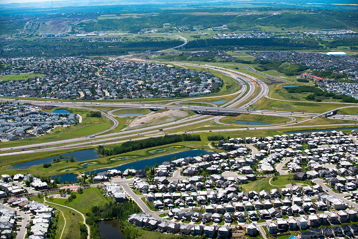
Our streets are Calgary's most abundant public space. They bring people together and provide connections.
They help us move goods and provide services, while also providing critical access for emergency services and rights-of-way for all underground and overhead utilities.
We continually invest in our city’s future road networks, infrastructure and traffic assets to ensure we are building a prosperous and accessible city for generations to come.
Long before a new road is built or an existing one is upgraded, The City of Calgary conducts a study to gather input from the public. This is a vital part of the process, as it provides insight to the potential impacts, benefits and confirms the needs of our city. Once a study is complete, we develop recommendations and provide them to City Council and interested parties. Projects advance through design and construction as resources allow.
Below are examples of recently completed transportation studies and their outcomes, grouped by city quadrant. To learn more about the type and scope of studies conducted, review the Types of Transportation Studies.
Northeast studies
16 Avenue and 19 Street N.E. interchange study
Study: Review design options for interchange at 16 Avenue and 19 Street N.E.
Purpose: Improve traffic flow on 16 Avenue, the busiest stretch of Trans-Canada Highway within city limits and an important corridor for goods and people movement.
Benefits: Less congestion, better connectivity and improved accessibility for all transportation modes.
Overview
This study looked at alternate design solutions to the 16 Avenue and 19 Street N.E. interchange. Council approved the original design in 2015, but requested a second look to account for the impact of other solutions for the 16 Avenue corridor between Deerfoot and Barlow Trail. Council re-approved the 2015 interchange design, and expanded the scope of work to include widening both 16 Avenue and Barlow Trail as part of the interchange project.
Current Status
- Study completed in 2016
- Funding not yet available
Recommended Plan
16 Avenue and 68 Street N.E. interchange study
Study: Re-evaluate interchange options at this intersection.
Purpose: Improve connectivity with 68 Street N.E. and Stoney Trail, via 16 Avenue.
Benefits: Improve traffic flow and access to Stoney Trail.
Overview
The interchange study was prompted by local interest in a 2004 functional planning study conducted by Alberta Transportation. That study confirmed the need for a major interchange with directional ramps at 16 Avenue and Stoney Trail N.E.
Current Status
- Study completed in 2007
- Project is currently unfunded
Recommended Plan
96 Avenue N.E. (Airport Trail) functional study
Study: Identify medium and long-term transportation needs along the 96 Avenue N.E. corridor.
Purpose: Upgrade 96 Avenue to expressway standards to accommodate future population growth and transit connections.
Benefits: Free-flowing traffic and easier access to/from the Calgary International Airport.
Overview
The City and Calgary Airport Authority co-sponsored the study to identify future road-infrastructure and right-of-way land needs. Future developments in the area are expected to double traffic volumes within 20 years. -
Current Status
- Study completed in 2012
- Construction was initiated in 2020 and completion scheduled for 2022
Recommended Plan
96 Avenue N.E. (Airport Trail) Functional Planning Study display boards
96 Avenue N.E. alignment study
Study: Design road alignment and CP rail crossing for extending 96 Avenue N.E. to Deerfoot Trail.
Purpose: Connect Harvest Hills Boulevard and Deerfoot Trail via a 96 Avenue extension.
Benefits: Serve future development of Aurora Business Park and provide direct routing to the airport for communities west of Deerfoot Trail.
Overview
Identify the preferred alignment and CP rail crossing design for extending 96 Avenue N.E. from Harvest Hills Blvd. to Deerfoot Trail.
Current Status
- Study completed in 2007
- Construction is completed
Recommended Plan
McKnight Bvld. N.E. transportation study
Study: Identify short, medium and long-term solutions to ease traffic congestion.
Purpose: McKnight Blvd. is a critical east-west link in Calgary’s northeast transportation network; few alternate routes are available.
Benefits: Reduce travel times, and improve safety.
Overview
The study led to short, medium and long-term corridor improvement plans that Council approved in 2016. Construction of the short-term plan to widen McKnight Blvd. to six traffic lanes between Deerfoot Trail and Barlow Trail was completed in December 2016. The medium-term plan calls for replacing left-turn options east of 12 Street N.E. with right-in/right-out ramps. The long-term plan will see the construction of a fly-over that connects to the new ramps build through the medium-term plan.
Current Status
- Study was approved in 2016.
- Short-term solution funded and completed
- Medium- and long-term plans are currently unfunded
Recommended Plans
Métis Trail N.E. extension study
Study: Evaluate interchange concepts along Metis Trail between 80 Avenue N.E. and Stoney Trail.
Purpose: Create direct access to Deerfoot Trail, Stoney Trail and McKnight Boulevard.
Benefits: Meet growing transportation needs in the northeast.
Overview
Métis Trail is an expressway planned to provide more direct access to Deerfoot Trail, Stoney Trail and McKnight Boulevard in the city's northeast sector. The study resulted in an interim plan for intersections along Metis Trail at key crossroads, and a longer-term plan to build them out as interchanges.
Current Status
- Study completed in 2008
- Metis Trail twinning project completed, including the interim intersection plans identified through this study
- Long-term plan is currently unfunded
Recommended Plan
- Métis Trail Interim Recommended Plan
- Métis Trail Ultimate Recommended Plan (To be confirmed?)
Northwest studies
Bowfort Road/Trans-Canada Highway interchange study
Study: Design an interchange to replace the intersection at Bowfort Road and the Trans-Canada Highway.
Purpose: Address traffic issues caused by long queues and heavy congestion during peak travel times.
Benefits: Serve traffic growth and future land development.
Overview
The study was conducted in 2007 and the design plan approved by Council in 2008. In 2013, with area developments pending, The City revisited the original plan with interested parties. This resulted in an updated design and construction plan, which Council approved in 2014.
Current Status
- Study completed in 2014
- Construction completed in 2017
Recommended Plan
Crowchild Trail corridor study
Study: Identify short, medium and long-term upgrades to Crowchild Trail from 24 Avenue N.W. to 17 Avenue S.W.
Purpose: Improve mobility and travel along the corridor; maintain or enhance bordering communities.
Benefits: Address traffic and mobility issues and accommodate future growth.
Overview
A six-phase study and public engagement process to inform technical plans and decisions affecting Crowchild Trail users and residents of bordering communities, in consideration of social, environmental, economic and property tax impacts.
Current Status
- Study completed in 2016
- Short-term upgrades under construction 2017-2019
- Medium and long-term recommendations for 2027+ not yet funded
Recommended Plan
Shaganappi Trail N.W. corridor study
Study: Develop a corridor plan for Shaganappi Trail from north of 16 Avenue to Stoney Trail, as well as a long-term plan for High Occupancy Vehicle (HOV) lanes.
Purpose: The City reclassified a section of Shaganappi – from 16 Avenue to Crowchild Trail – to an Arterial Street, while maintaining the section from Crowchild to Stoney Trail as a Skeletal Road.
Benefits: Right-of-way requirements identified.
Overview
Corridor studies are typically conducted 10-30 years ahead of construction. This one started in 2012. Council approved the corridor plan in 2015.
Current Status
- Study completed in 2015
- Project not currently funded
Recommended Plan
Southeast studies
17 Avenue S.E. corridor study
Study: Identify short-, medium- and long-term options for developing 17 Avenue in two phases: from Deerfoot Trail to Stoney Trail, and from Stoney to 116 Street S.E.
Purpose: Prepare for growth; align transportation plans with projects immediately east and west of the study area, and ensure integration of planned transitway.
Benefits: Support an urban street environment where people have multiple options for getting around – drive, walk, bike or take transit.
Overview
17 Avenue S.E. provides an important regional connection between Calgary and Chestermere. It is also part of Calgary’s primary transit and cycling networks. The area is not currently developed east of Stoney Trail but significant growth is expected.
Current Status
- Phase 1 of the study – Deerfoot Trail to Stoney Trail – completed in 2011 (construction of segments finalized)
- Phase 2 of the study – Stoney Trail to 116 Street S.E. – completed in 2016 (the project is currently unfunded)
Recommended Plan
25 Avenue S.E. connector study
Study: Identify design options and land needs for upgrading 25 Avenue S.E. between Macleod Trail and Blackfoot Trail.
Purpose: Plan for population growth in surrounding communities and expansion projects in surrounding entertainment and industrial parks.
Benefits: Reduce commuter shortcuts through residential areas, improve access to Highfield Industrial Park, support increased Transit services and relieve traffic bottlenecks.
Overview
25 Avenue connects Macleod Trail and Blackfoot Trail and provides access to Erlton, Ramsay, Mission/Cliff Bungalow, Stampede Park, ENMAX Park, Manchester Centre and Highfield Industrial Park.
Current Status
- Study completed in 2011
- Project not currently funded
Recommended Plan
Glenmore Trail – 68 Street S.E. and Peigan Trail study
Study: Review requirements for connecting Glenmore and Peigan Trails to Stoney Trail S.E., and explore opportunities for improving access in all directions from 68 Street S.E.
Purpose: Support free-flow movement of over-height, wide-load vehicles in conjunction with 2013 opening of Stoney Trail S.E.
Benefits: Improve the movement of goods along east-west corridors and access to north-south expressways for growing industrial communities.
Overview
The City conducted this study to consider opportunities for improving access at 68 Street to both Glenmore and Peigan Trails, in preparation for the opening of Stoney Trail S.E. and growing industrial traffic in the area.
Current Status
- Study completed in 2010
- At-grade improvements completed at 68 Street S.E. intersections in 2013
- Longer-term plans not currently funded
Recommended Plan
Southwest studies
50 Avenue S.W. corridor study
Study: Retrofit 50 Avenue corridor to fit 2009 designation as a Parkway.
Purpose: Identify current issues and concerns; develop plans for future improvements.
Benefits: New/approved amenities for people walking and cycling; maintain parallel parking between 15 Street and 17 Street.
Overview
50 Avenue S.W. runs between Crowchild Trail and 14A Street S.W. It connects people to schools, area destinations such as Sandy Beach, and to homes in Altadore, Garrison Woods and North Glenmore Park. The study identified recommendations to bring the corridor up to parkway standards.
Current Status
- Study completed in 2017
- Not currently funded
Recommended Plan
Crowchild Trail corridor study
Study: Identify short, medium and long-term upgrades to Crowchild Trail from 24 Avenue N.W. to 17 Avenue S.W.
Purpose: Improve mobility and travel along the corridor; maintain or enhance bordering communities.
Benefits: Address traffic and mobility issues and accommodate future growth.
Overview
A six-phase study and public engagement process to inform technical plans and decisions affecting Crowchild Trail users and residents of bordering communities, in consideration of social, environmental, economic and property tax impacts.
Current Status
- Study complete in 2016
- Short-term upgrades under construction 2017-2019
- Medium and long-term recommendations for 2027+ not yet funded
Recommended Plan
Heritage Drive-Macleod Trail interchange study
Study: New options for a Heritage Drive-Macleod Trail interchange
Purpose: Newer high-density development in area, more vehicle and CTrain traffic increased congestion at intersection
Benefits: Reduce congestion for drivers, increase pedestrian safety
Overview
Heritage Drive-Macleod Trail is one of the more congested intersections on the Macleod Trail corridor. A study was completed in 1982, but with high-density development and a planned increase in LRT frequency, the previous study needed an update to develop a recommended plan for an interchange.
Current Status
- Study completed in 2010
- Project not currently funded
Recommended Plan
Macleod Trail corridor study
Study: Create long-term plan for Macleod Trail from 25 Avenue South to Anderson Road.
Purpose: Develop Macleod Trail as an Urban Boulevard with major activity centers.
Benefits: Future right-of-way lands to support vehicle, bicycle and foot traffic along the corridor are identified.
Overview
Corridor studies are typically completed 10 to 30 years in advance of construction. They’re done to identify issues such as how much room is needed for expanded right-of-ways, and to determine upgrades required to existing roadways. Further study is typically required before the corridor plan is implemented.
Current Status
- Study completed in 2015
- Project not currently funded
Recommended Plan
Sarcee Trail and Richmond Road S.W. interchange functional planning study
Study: Design an interchange to fit with the local road network and 2021 opening of the Southwest Ring Road.
Purpose: Support growth and transportation-network improvements in southwest Calgary.
Benefits: Provide access to local businesses and connect surrounding communities.
Overview
Determine an interchange design that fits with the SWRR and local road network, and improves access to local businesses and communities.
Current Status
- Study completed in 2018
- Recommended plans approved in 2018
- Project currently unfunded
Recommended Plan
Transportation Corridor Study Review
Transportation corridor study review
Study: Review the transportation corridor study process.
Purpose: Ensure a consistent, open and collaborative approach to planning for current and future transportation needs.
Benefits: Interested parties are involved earlier in the study process, and they understand how their input is reflected in the study outcomes presented to Council (and if not, why not).
Overview
Transportation corridor studies help shape how people and goods move within the city. Interested parties and citizen input is important to ensure study recommendations are relevant to the needs of people who live in adjacent communities and those who use the corridor. Reviewing the study process led to a new City policy and engagement guidelines that have been applied to corridor studies since 2014.
Current Status
- Review completed in 2014
Recommended Plan
- Revised Transportation Corridor Study Policy and Guidelines