Digital Elevation Model
Digital Elevation Model (DEM) consists of point and breakline elevation data, and was originally intended to generate contour lines at 0.5 metre intervals on topographical maps.
Derived from 1:5000 aerial photos, the DEM files represent the ground surface topography to within an accuracy of 15 centimetres vertically and horizontally. Also known as DTM, it is often used in Geographic Information Systems, and is the most common basis for digitally-produced relief maps.
User(s)
- Developers
- Architects
- Planners
- Engineers
- Builders
Uses
- Extracting terrain parameters
- Modeling water flow or mass movement (e.g. bank erosion, slides)
- Rendering 3D visualizations
- Creating relief maps
- Creating physical models (including raised-relief maps)
- Rectifying aerial photography or satellite imagery
- Terrain analyses in geomorphology and physical geography
Benefits
- Accurate – 15 cm accuracy makes DEM products suitable for earthworks and other projects.
- Current – Growth areas are updated annually while established areas are updated on a 3-year cycle; extensive quality control procedures are conducted on an ongoing basis.
- Efficient – Immediate download available; licensing process is completed in minutes, not days.
- Cost effective – Obtaining a DEM map license saves the cost of developing an original.
- Practical – DEM maps are sold on a section basis.
Additional specifications
Digital Elevation Model data is collected from 1:5000 scale aerial photography using photogrammetric technology. The data has a positional accuracy of 15 cm in the X, Y, and Z axes. The initial data capture began in 1991. To keep pace with new developments, at least one flight is conducted annually, during which individual sections are checked and updated.
The DEM files, cartographic and ASCII, include points collected on a ten-metre grid, with intermediate points and breaklines added to accurately define the topography.
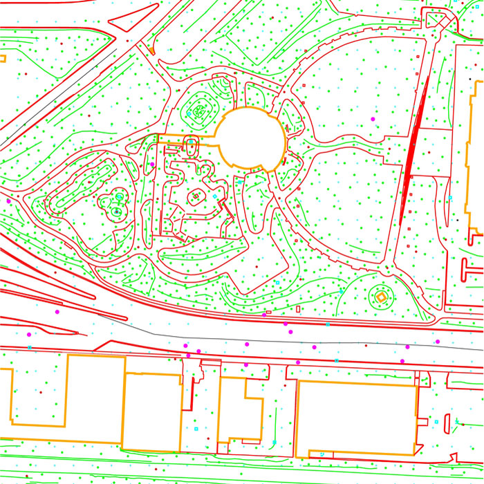
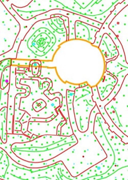
Example of Digital Elevation Model