Local Area Planning in Calgary
Local Area Planning
Guiding the evolution of communities for the next 30 years.
What is a local area plan?
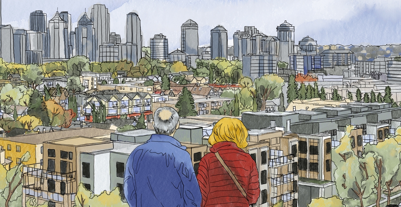
All communities change and evolve over time – buildings gain character, demographics change, trees mature, and local amenities and businesses evolve.
Redevelopment is a natural part of a community’s life cycle. A local area plan provides direction on development and community improvements to help guide change within a specific area.
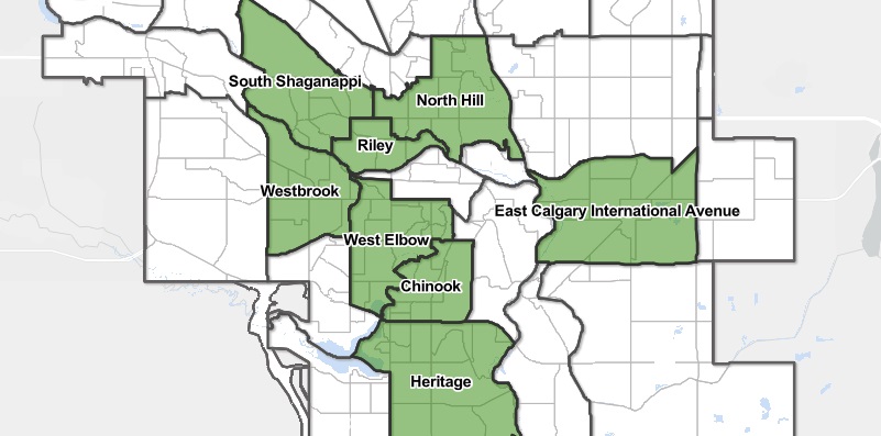
Local area plans - interactive map
Use this interactive map to explore communities with current or completed local area plans.
Launch the interactive map