

Legal Survey Fabric
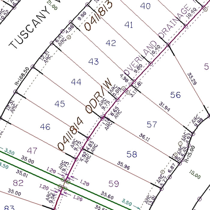
The Legal Survey Fabric (LSF) comprises property-based information regarding tentative, preliminary and registered plans within the City of Calgary. As a site map, the LSF digital map products provide a complete picture of legal parcel information to assist architects, builders, and developers in the planning process.
The LSF provides point, line and topology features, including
User(s)
- Developers
- Architects
- Planners
- Engineers
- Builders
- Environmentalists
Uses
- LSF data is used to establish the location of utilities or infrastructure in relation to property.
- Survey & Development companies use the LSF to locate cadastral pins when they are out in the field.
- Utility companies use it to determine the locations of easements and rights-of-ways in which to locate their lines.
Benefits
- Detailed information on lot lines, utility rights-of-way, lot block, and plan information and lot dimensions
- Accurate and reliable – updated on a regular basis by The City of Calgary
- Efficient – licensing process completed in minutes rather than days
- All are sold by section
- Immediate download available from City Online
Additional Specifications
Plan, block and lot information, derived from legal plan documents, is placed at proper cartographic standards according to existing service level agreements.
Example of Legal Survey Fabric
Download Guidelines
