Chapter 2: Enabling Growth
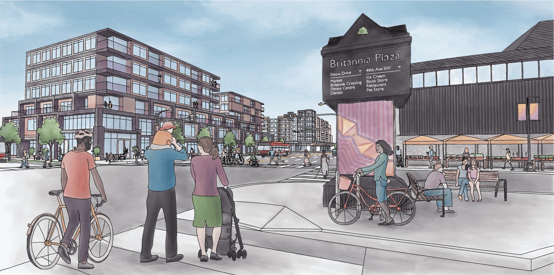
Chapter 2: Enabling Growth
Urban Form and Building Scale Maps
In the Plan, the Urban Form and Building Scale Maps form the basis of where growth and activity will be realized within the Chinook Communities. These maps provide guidance for the type and scale of future development; the two maps are intended to be read together.
Map 3: Urban Form
In the Plan, Map 3: Urban Form illustrates the general location of urban form categories and how they apply across the Plan Area. Urban form categories identify and categorize the purpose and general function (land use) such as residential, commercial, industrial, regional campus, parks, civic and recreation and natural areas of different parts of a community. Policies for each urban form category are found in Section 2.2 Urban Form Categories.
Map 4: Building Scale
Map 4: Building Scale illustrates the maximum potential height and size buildings can be in a specific area within the Chinook Communities. Policies for each scale category are provided in Section 2.3 Scale Modifiers which outline building heights, massing, and other design considerations.
Use the vertical slider to scroll from left to right to view Map 3: Urban Form or Map 4: Building Scale.
Click each label for details.
Consult the Chinook Communities Local Area Plan for the most up-to-date version of the Urban Form and Building Scale maps.